
WEATHER UPDATE: CONSISTENT RUN OF STORMS

 A trough is going to remain stalled across North East New South Wales over the next few days helping to trigger showers and storm formation. It is set to become a fairly consistent feature over the Christmas period.
The area under threat from storms will get smaller focusing on the northern NSW ranges on Christmas Eve.
On Christmas Day a southerly change is going to sweep in across the Central Coast and Greater Hunter before spreading further north over the Northern Tablelands and MNC. This change is set to produce widespread showers and storms, it will also be a gusty change so if you have an outdoors Christmas lunch organised it would be wise to be prepared for this developing system.
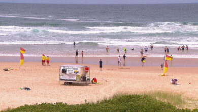
Some good surf is on the way in the coming days with swell beginning to arrive from Cyclone Evan. Water temp is comfortable in, ranging from 24 degrees in SE QLD to 21 off Newcastle.


You bewdy Gav! Thanks!