New modelling suggests Australia is stuck between two wet weather drivers; an “imminent” negative Indian Ocean Dipole, and another La Niña, which was first declared by the Bureau of Meteorology (BoM) last November.
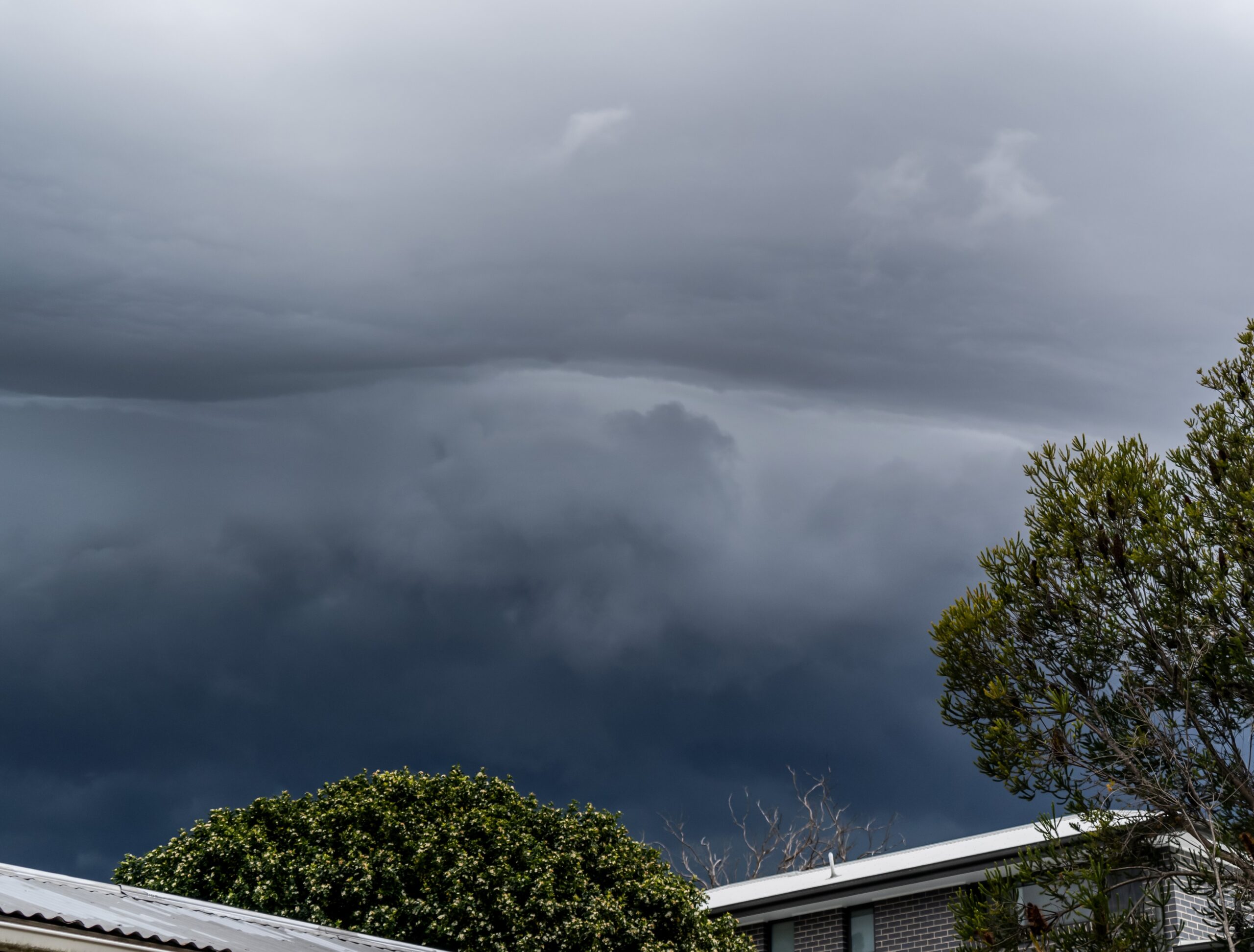
Several weather warnings are in place for New South Wales as an east coast low builds off the coast.
The East Coast Low will interact with a ridge to the south to produce increasing winds and waves along the northern coastline. The low will begin to move away to the southeast on Saturday.
New South Wales has been issued with marine wind and hazardous surf warnings, with the low pressure system expected to bring heavy rain to a broad swathe of coastline.
VERY HEAVY SURF is forecast along the coastline north of Wooli from Friday evening until Saturday evening, which may lead to localised damage and coastal erosion.
Significant wave heights exceeding 5 metres from an east to southeasterly direction are expected.
Beach conditions in these areas could be dangerous and people should stay well away from the surf and surf exposed areas.
It comes just a week after massive waves and widespread erosion brought severe damage to clubs, tore off ramps and roller doors and gouged out access ways onto many NSW beaches.
Conditions will be hazardous for coastal activities such as rock fishing, boating, surfing and swimming. People should consider staying out of the water. Rock fishers should avoid coastal rock platforms exposed to the ocean.
A separate Hazardous Surf Warning is also current.
Locations which may be affected include Tweed Heads, Byron Bay, Ballina, Brunswick Heads, Evans Head and Yamba.
Amid the system, Weatherzone has warned there may not be an end in sight to the wet weather.