The latest low is moving in across the SW corner of the country helping to produce more isolated rain periods and storms in the west.
Central Eastern Australia has momentarily returned to clear dry skies for most.
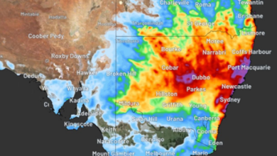
The synoptic chart. Tomorrow low over Tasman will hold its ground maintaining the southerly airflow locally but it will be lighter.
The next weather system will cross Central Australia this will arrive local in a couple of days delivering the next southerly on Thursday.
A fine looking Tuesday is on the way with southerly winds keeping temperatures fresh along the coast but plenty of warmth inland as temperatures rise into the high 20s across the NW.
text will be replaced