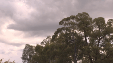
A large cluster of storms rolled across the Northern New South Wales ranges, affecting the Northern Rivers, border towns and south-east Queensland this afternoon. That’s thanks to a near stationary trough, which is set to linger for most of the week.
Lots of high level cloud stretched across the majority of the region as well, largely leaving the Hunter and Central Coast clear and mostly sunny.
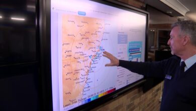
A fine day is on the way tomorrow for the North West. The risk of showers will be small and mainly threaten the Ranges and Tablelands, with some of the activity rolling off the mountain areas and reaching the coast in the afternoon.
Christmas Day is still looking quite hot with some afternoon storm development possible for the Hunter, and a few showers for the Gold Coast due to onshore winds.
I’ll keep the Christmas Day forecast happening until the big fella arrives. This forecast will probably change as the day grows closer.