

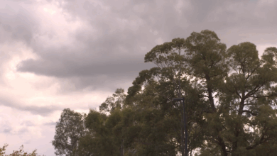
Expect weather warnings a plenty over the next 24-hours, as a strong front makes its way up the coast.
As it collides with warm air we’ll likely see severe storms across north east New South Wales and the south east corner of Queensland.
The system will move through the Hunter at around 3am, reaching the Far North Coast by around 10pm.
Temperatures will drop as the front passes, with coastal showers set to continue for a few days.
text will be replaced


Hi Gav, I enjoy your reports each night but one thing bothers me and that it the placement on the Dam level report. Chichester dam is actually North East of Lostock dam not as it appears on your map.Could you have a look and set my mind at rest, each night the levels are shown I say I must send Gav a message so now I have. There could be a very good reason you display it the way it is if so could you let me know
Cheers Jenny
What rain? I live near Grafton and we have had less then 1mm. Take a look at the BOM