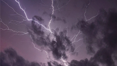
GAV’S WEATHER | CALMER FRIDAY BEFORE THE STORMS RETURN

The final stages of this ongoing rain event for eastern Australia continue for another couple of days.
There’s a local trough still lingering and another low is moving in off the Bight to help produce more potential, isolated heavy rain periods and storms as we move into the weekend.
Tomorrow the new cut off low over southern NSW and the associated front and trough will move into central NSW.
This will mostly trigger showers and storms across the southern half of the state for Friday.
This will ramp up the wet weather for another round of storms on Saturday.
A fine warm and mostly sunny day is expected for the majority of northern NSW and SE QLD.
Parts of the Central Coast and Greater Hunter will see a few more small storms and showers develop in the afternoon.


