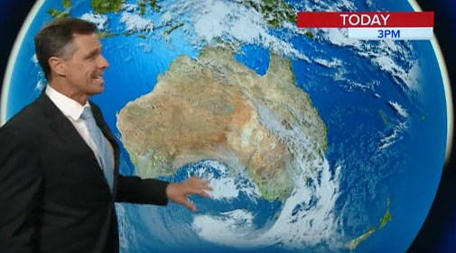
Cloud over Queensland and Northern New South Wales has been breaking up today.
The next major weather feature is the front that has crossed the south western corner of Western Australia dragging in a lot of cold air behind it.
Ahead of it, the northerly winds continue to drive up temperatures in the south east causing a heatwave.
The worsening bushfire situation locally will continue as the dry hot north west winds increase maintaining the smoke haze south of the fires.
Another very hot day inland with temperatures headed for the low to mid 30’s. Bushfire dangers will increase.
The coast will be protected from the higher temperatures thanks to the ongoing afternoon sea breeze.
Rain will then move in from Sunday with the best days being Monday and Tuesday for the Northern Rivers and south east Queensland.

